-

Topography Surveys
A topographic survey is otherwise known as a land survey and is an accurate measurement and recording of a site’s man-made and natural features. Capturing land gradients/levels, boundary’s, kerbs, manholes, building footprints etc.
This can be useful to record “as-is” information and also fundamental information for proposed building work and landscaping. In addition, such data can be used as part of a flood risk assessment.
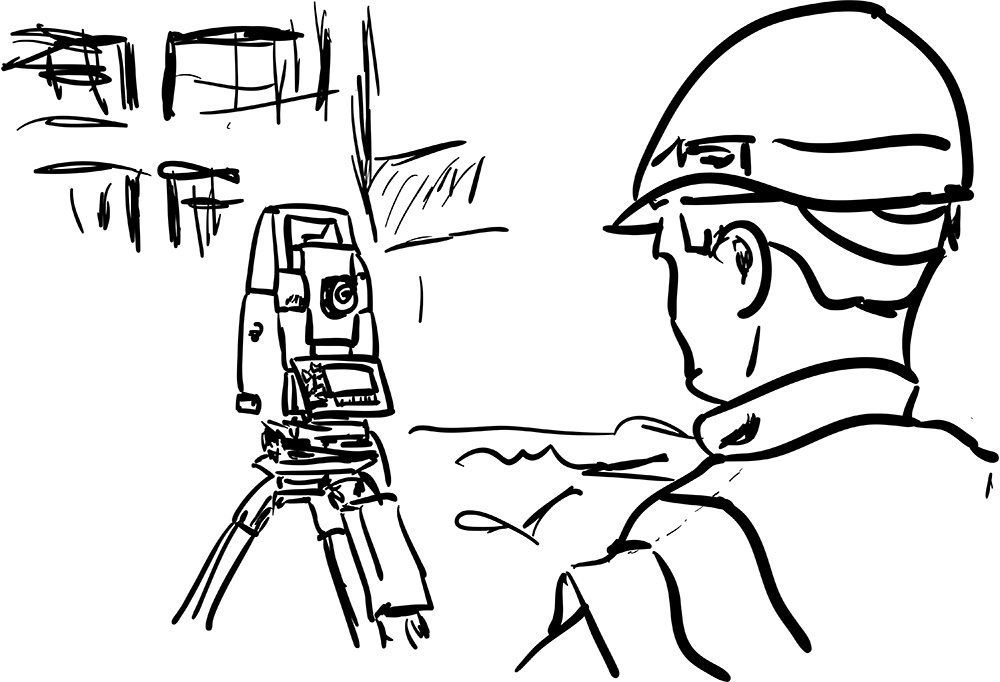
We use a Topcon Robotic Total Station to collect data which is unloaded onto CAD and typically produced with the measured survey as below and supplied in either PDF or more often in DWG format.
-
Boundary Disputes
A topographic survey can be carried out to survey the physical boundary of a property. This can often be different than the actual boundary (which is sometimes recorded with the Land Registry) due to a number of factors.For instance, fences, walls or hedges can be removed, installed or moved and over a number of decades and changes in ownership the boundary line can be lost and become encroached upon.
This is very often an innocent mistake because the physical features have been assumed to be the boundary of the property. To assist with establishing a boundary, it is possible to carry out a topographic survey of the plot, including the footprint of the property, and then overlay the recorded boundary from the Land Registry Title.
The surveyor can then give you an opinion on where the boundary sits in relation to that drawing. The accuracy of the results however can be a little subjective due to the scale of the drawings often recorded with the Land Registry, unless they hold dimensional detail of your boundary.
Whilst a boundary topographical survey is different to a boundary determination survey, it can sometimes be a more cost-effective entry level way to get an opinion on the location of a boundary before a dispute develops.
-
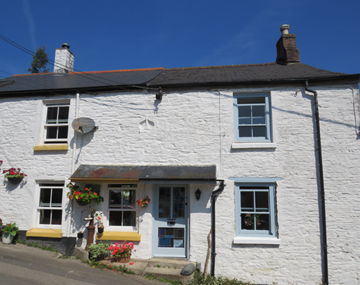
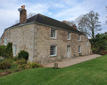
Measured Surveys
We undertake measured surveys of existing structuresoften using our Robotic Total Station and/or hand help lasers and includesthe foot print of the structure, elevations, roof lines, internal areas, etc.
The data collected is then uploaded onto CAD often in conjunction with the Topographical Survey. Scale drawings are produced on either or both PDF or DWG format.


Compliance / Standards
We work to a standard specification as recommended by the Royal Institute of Chartered Surveyors (RICS) for measured surveys of land, buildings and utilities.